
-
- Products
- Indoor Household Cords
- Appliance Cords
- General Purpose Short-Length Cords
- General Purpose Extension Cords
- Landscape & Decorating Cords
- Bright Color Extension Cords
- Oil-Resistant Extension Cords
- Cold-Flex Extension Cords
- VividFlex Power Cords
- EXTREME All-Weather Cords
- Cord Management
- Task Lights
- Adapters & GFCI Devices
- Where to Buy
- About
- Careers
- Glossary
- Catalog


What Is an Air Detection Drone and How Does It Work?
An Air Detection Drone is an unmanned aircraft equipped to measure conditions that people cannot easily observe from the ground. It may carry particulate sensors, gas detectors, thermal cameras, humidity probes, or radiation monitors. During flight, the drone follows planned waypoints and records location, altitude, temperature, and pollutant readings. Operators then combine these measurements with weather data to identify changing air conditions.
The need is becoming clearer. The World Health Organization’s Ambient Air Quality Database reports that 99% of the global population lived in places exceeding its air-quality guideline levels in 2019. The World Meteorological Organization’s State of the Global Climate 2023 also shows why atmospheric observation matters as climate extremes intensify. These reports do not specifically measure drone performance, but they explain the monitoring challenge.
Commercial interest is rising. Drone Industry Insights’ Drone Market Report 2024 describes continued expansion in commercial drone services, including inspection and environmental applications. The Federal Aviation Administration’s Aerospace Forecast Fiscal Years 2024–2044 also anticipates sustained growth in unmanned aircraft activity. Practical testing, however, remains essential.
Sensors can drift. Batteries limit flight time. Wind can distort readings.
A drone may detect a pollution plume, but it cannot automatically explain its source. Calibration, ground-based reference stations, and trained interpretation are still necessary. That limitation is easy to overlook. In this article, we examine how an Air Detection Drone collects data, communicates with operators, and supports safer environmental assessment. The technology is promising, but reliable decisions require careful validation.
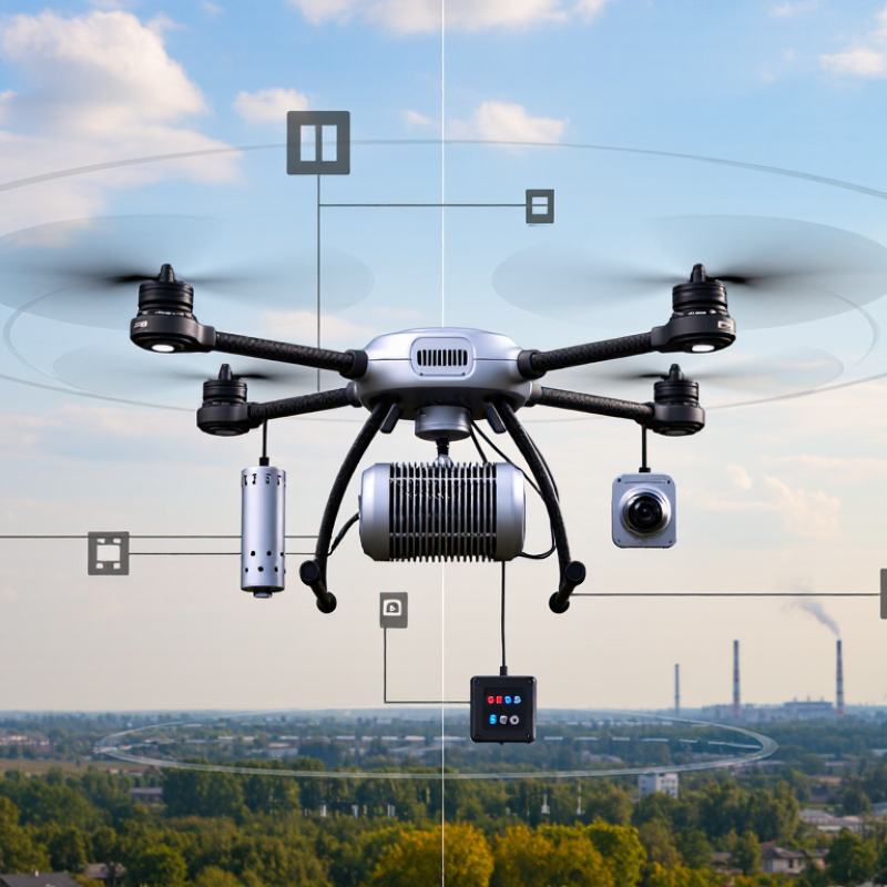
Table of Contents [Hide]
Definition and Core Purpose of an Air Detection Drone
An air detection drone is an unmanned aircraft carrying sensors to measure conditions in the air. Its core purpose is to collect location-specific readings where ground monitors may be sparse or difficult to reach. Depending on the sensor, it can track particulate matter, gases, temperature, or humidity. A drone is a moving sampling platform, not a laboratory in the sky.
During a survey, the aircraft follows a planned route while its instruments record measurements and coordinates. Operators can compare readings across height and location, such as near a road or above a field. Sensor choice matters. Rotor airflow can disturb samples, and low-cost sensors may need calibration against reference equipment. A reading is useful, but it is not automatically a confirmed identification.
The need for better coverage is clear. The World Health Organization reported in its 2022 air-quality update that 99% of the global population breathed air exceeding its guideline limits. The Health Effects Institute’s State of Global Air 2024 report estimated 8.1 million air-pollution-related deaths in 2021. These figures describe a public-health challenge, not a task one drone can solve. Its value is more modest: fast, fine-scale observations that help experts decide where closer monitoring is needed. That boundary is easy to blur.